Engebø/Førdefjorden: a legal dispute shaping the rules for mining in Norway
Engebø shows how important preparedness is.

Multiple exploration licences in Norway, Greenland, Sweden and Finland.

Focus on critical metals exploration.

Open to collaboration with strategic and financial partners.
Subarctic Exploration Group a.s. (SEG) is a privately owned investment holding based in the Czech Republic focusing on mineral exploration projects in the Northern Europe since 2013.
We have created an umbrella platform consisting of several junior exploration companies with diversified project portfolio across four Tier 1 mining jurisdictions - Norway, Greenland, Sweden and Finland.
Engebø shows how important preparedness is.
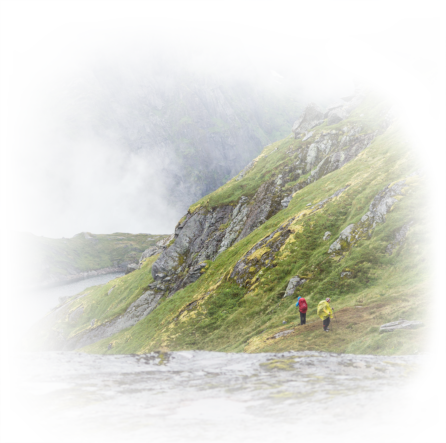
In mid-September, a personal visit took place to the Fureviknipa license.
SEG has taken another strategic step in expanding its portfolio across the Nordic region. In collaboration with our Finnish partner, Palsatech, we have initiated the administrative process to obtain t...
In June 2025, SEG a.s. held its Annual General Meeting, attended by shareholders and company leadership. We would like to thank all participants for their time, trust, and active engagement.
SEG is entering a new and ambitious phase of its development.
SEG continues to successfully implement its strategic plan to expand and strengthen its portfolio of exploration and mining licenses across Norway and Sweden


